
BILLINGS — Another surge of monsoonal moisture will move across the area Tuesday evening, triggering showers and thunderstorms through midnight.
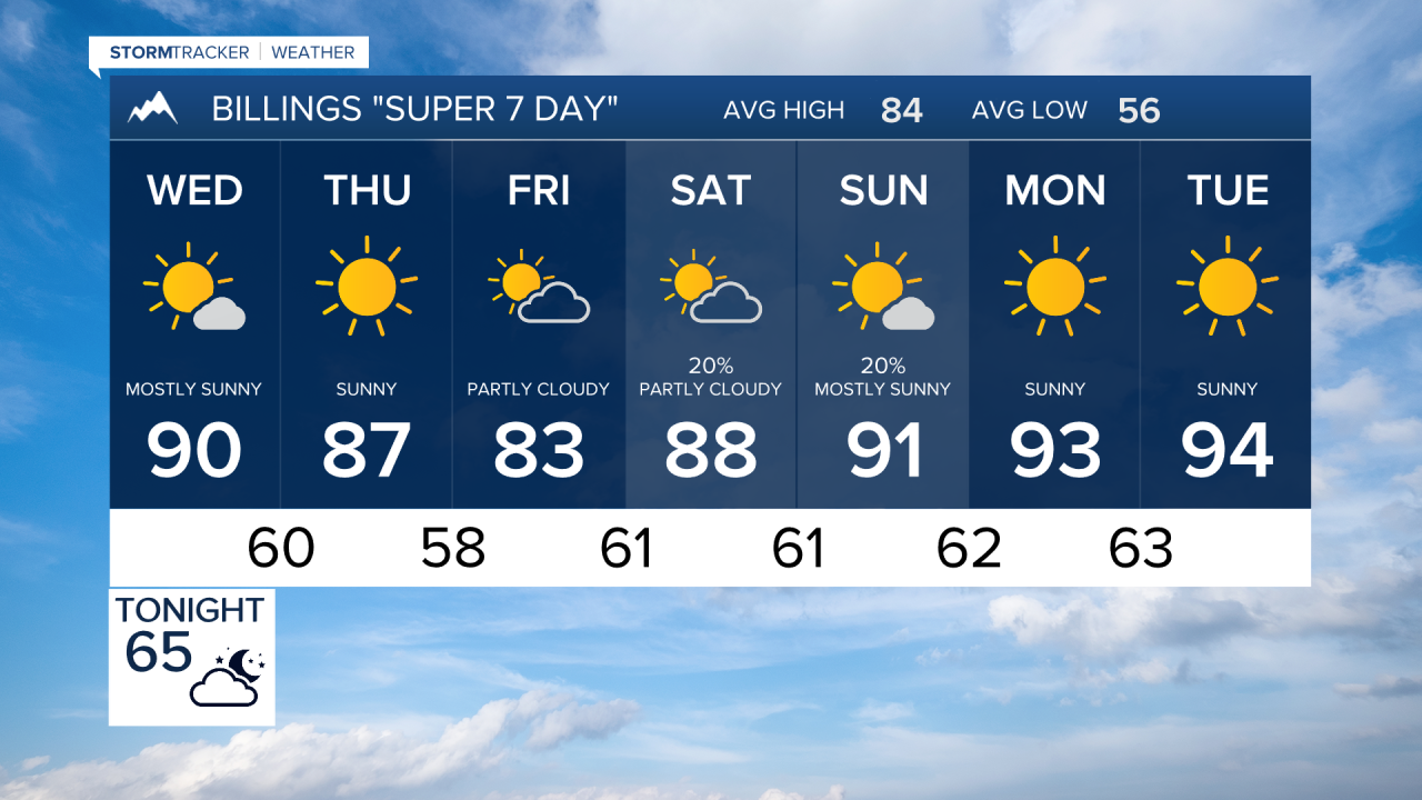
Wednesday and Thursday will feature more sunshine and drier conditions with high temperatures into the upper 80s and lower 90s.
A weak disturbance will move eastward across southern Canada during the day Thursday, bringing slightly cooler temperatures to the area for Friday, with afternoon high temperatures into the lower to mid-80s.
By Saturday, the upper-level ridge of high pressure will rebound allowing high temperatures to climb back into the upper 80s to mid 90s through early next week. Moisture left from the remains of Tropical Storm Harold will move through the Great Basin and may trigger a few thunderstorms over the mountains of southern Montana and Wyoming through the weekend. Currently it appears this moisture may stay south of the area, but will bear watching through the end of the week.
