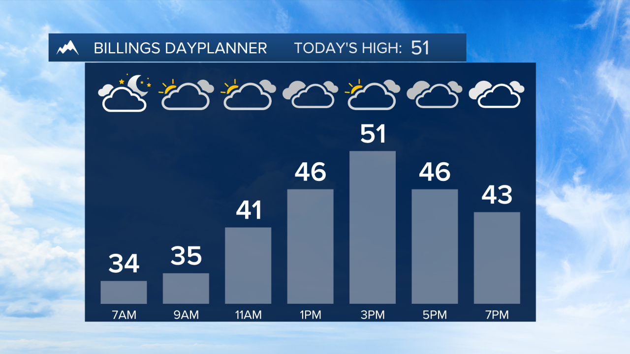
BILLINGS — Dense fog starts the day to our north including Dawson and Wibaux counties with visibility less than 1/4 mile and slick roads possible. Use caution during the morning commute.
Although it will be another warmer than average day, clouds will be on the increase this afternoon ahead of an area of low pressure that will bring a chance of rain and then snow across the area as early as tonight through Friday morning. Dawson and Wibaux counties could get freezing rain Wednesday morning leading to icy roads.
The Beartooths, Absarokas, and Bighorns could pick up a few inches of snow today, but the winter storm will increase chances over the next couple of days. Over 6" could fall across the mountains with several inches possible in the lower elevations especially in areas east of Billings through Friday morning. (see attached graphic) This is all dependent on the track of the low. Any shifting of the track could cause projected snow totals to fluctuate. Still, be prepared for driving conditions to be impacted to some degree.
The system will also cool things down with daytime highs dipping back down to around seasonal by the end of the work week into the weekend.
-Miller Robson
Q2 Morning Meteorologist
miller.robson@ktvq.com


