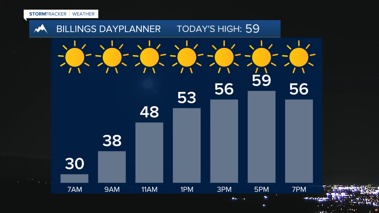
BILLINGS — We'll enjoy a healthy dose of sunshine on Monday and Tuesday as high pressure keeps dry conditions in place. Highs will be in the 50s on Monday, then warm into the 60s and 70s on Tuesday.
An upper-level low and associated cold front will bring a big change in the weather starting mid-week, with periodic moderate to heavy precipitation from Wednesday through Friday morning.
All area mountains could pick up at least 10 inches of snow (maybe a foot), while the foothills could receive up to 6 inches or more. Precipitation will start off as rain in the lower elevations late Wednesday into Thursday morning, before transitioning to all snow Thursday through Friday morning as it turns colder. Areas along and west of a line from Harlowton to Roundup to Sheridan, WY, could get 1-4 inches of snow. Billings could get between 1-3 inches of snow and over 1 inch of total moisture. Much of the area could receive over half an inch of moisture.
High pressure is forecast to bring a return of dry conditions Friday afternoon into Saturday, but some models are hinting at another disturbance bringing precipitation into the area on Sunday.
Daytime highs will be in the 60s and 70s on Wednesday, 30s and 40s on Thursday, 40s and 50s on Friday, 50s and 60s on Saturday, then 60s on Sunday.
Nighttime lows will be in the 20s and 30s Monday night, 30s and 40s on Tuesday night, 30s on Wednesday night, 20s and 30s on Thursday and Friday nights, 30s on Saturday night, then 30s and 40s on Sunday night.
Miller Robson
Q2 Morning Meteorologist
miller.robson@ktvq.com


