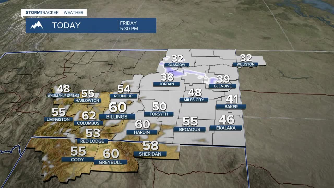


BILLINGS — Strong winds will continue on Friday, with gusts up to 75 mph possible across the western foothills and the Crazy Mountains, where High Wind Warnings and a Wind Advisory remain in effect through this afternoon/evening. Gusts 30-50 mph are possible across the rest of the area. The winds should ease through the day as a backdoor cold front begins to drop down from Canada. Daytime highs will be mainly in the 40s east, with 50s and 60s elsewhere.
The front will move through late Friday into Saturday, bringing a brief cooldown along with a chance of light snow in areas north and east of Billings, where 1–3 inches of accumulation is possible. Be prepared for minor impacts if you plan to travel in those areas. A Winter Weather Advisory will be in effect. Daytime highs will be mainly in the 30s and 40s, although our western counties and northern WY could still reach into the 50s due to downslope flow.
The colder temperatures and snow won’t last, as high pressure brings drier and warmer conditions Sunday into early next week, although a few light snow showers could pop up over the mountains south of Billings due to a split flow pattern. Highs will be in the 50s and 60s.
Winds could increase over the western foothills by midweek as another system heads toward the region, bringing a chance for cooler temperatures and precipitation by the second half of next week.
Miller Robson
Q2 Morning Meteorologist
miller.robson@ktvq.com
